
Westchester County ZIP Code Coverage
Westchester's county profile counts 82 ZIP Codes, including four P.O.-Box ZIPs and six special rural-community ZIPs. The County GIS layer returns 77 postal-area labels, so the map cannot be used as a complete delivery list. The rows below are representative labels documented by that GIS layer, grouped to show the county's north, central, White Plains and Yonkers, and south-county patterns. Each row is an approximate geographic label, not a guaranteed Postal Service delivery boundary.
| ZIP Code | Areas Covered | Post Office | Notes |
|---|---|---|---|
| 10501 | North county GIS area | Amawalk P.O. | Approximate GIS boundary |
| 10504 | North county GIS area | Armonk P.O. | Approximate GIS boundary |
| 10506 | North county GIS area | Bedford P.O. | Approximate GIS boundary |
| 10536 | North county GIS area | Katonah P.O. | Approximate GIS boundary |
| 10520 | Central county GIS area | Croton-On-Hudson P.O. | Approximate GIS boundary |
| 10528 | Central county GIS area | Harrison P.O. | Approximate GIS boundary |
| 10549 | Central county GIS area | Mt. Kisco P.O. | Approximate GIS boundary |
| 10583 | Central county GIS area | Scarsdale P.O. | Approximate GIS boundary |
| 10601 | White Plains GIS area | White Plains - Main | Approximate GIS boundary |
| 10604 | White Plains GIS area | West Harrison P.O. | Approximate GIS boundary |
| 10701 | Yonkers GIS area | Yonkers P.O. | Approximate GIS boundary |
| 10703 | Yonkers GIS area | Yonkers - North | Approximate GIS boundary |
| 10710 | Yonkers GIS area | Yonkers - Centuck | Approximate GIS boundary |
| 10801 | South county GIS area | New Rochelle P.O. | Approximate GIS boundary |
| 10803 | South county GIS area | Pelham P.O. | Approximate GIS boundary |
| 10804 | South county GIS area | New Rochelle - Wykagyl | Approximate GIS boundary |
| 10805 | South county GIS area | New Rochelle - South Side | Approximate GIS boundary |
The full county layer also includes boundary-overlap labels such as Brewster, Croton Falls, Mahopac, and White Plains. Those labels require an address and county check. The documented statistics leave ten postal codes outside the 77 GIS polygons, so the four P.O.-Box and six special-community codes should be verified with USPS rather than guessed from a map.
Westchester County ZIP Code Map Limits
The County GIS ZIP service is a 2020 Census ZCTA cartographic layer updated in August 2025. Its metadata says the boundaries are approximate, simplified for mapping, adjusted near Connecticut, and not official Postal Service data. It exposes geographic fields such as ZCTA5CE20, GEOID20, NAME20, land and water area, NAME, and ZIPCODE. Those are useful fields for viewing a general postal area. They do not turn the layer into a delivery-boundary source or establish a person's address.
The County approximate ZIP and ZCTA boundary layer is therefore best used to see the broad context of a verified ZIP.
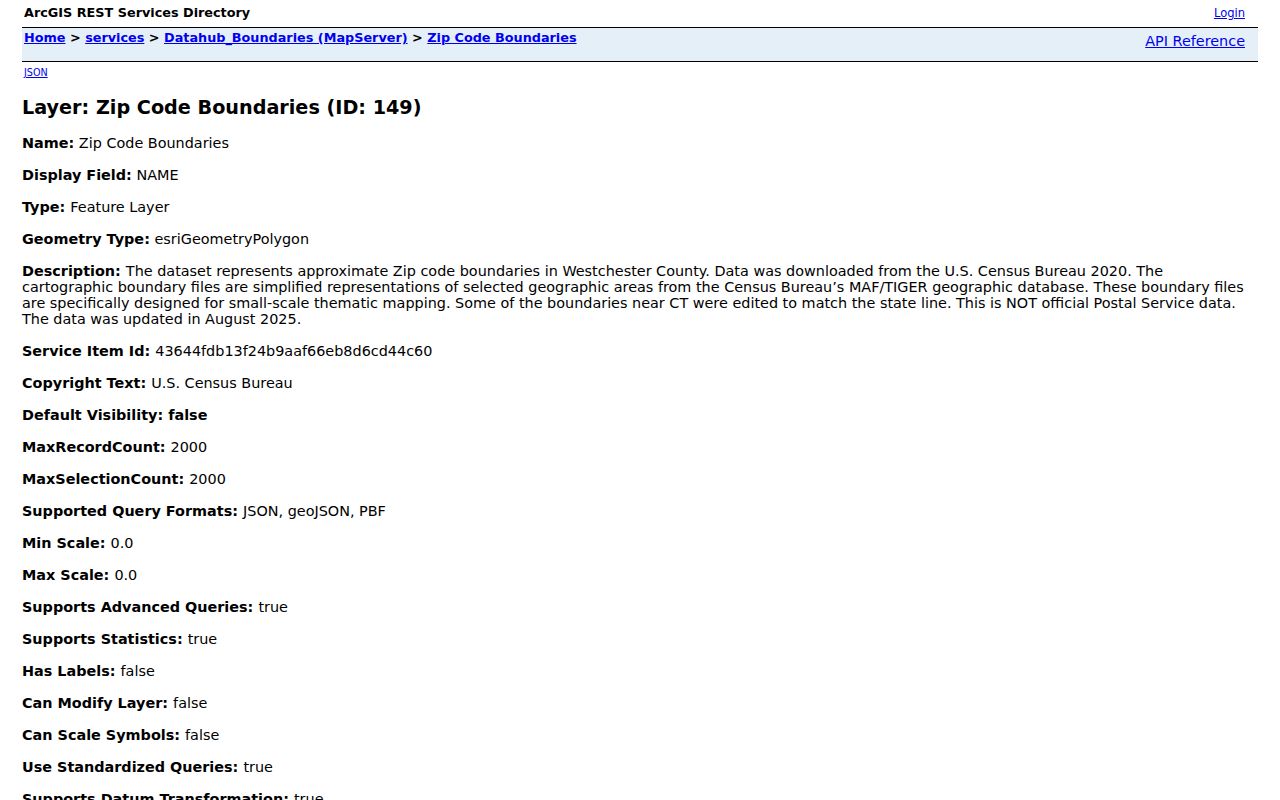
After locating a general area in the layer, confirm the actual address with USPS and then use the proper municipality for a parcel or local-record question.
The difference is practical at a county border or a postal-area edge. The map can point to the right part of Westchester, while the delivery result still needs to be checked against the full street address. It is also not an exhaustive inventory of postal-only codes. Keeping that limit visible prevents a reader from treating a generalized Census boundary as a tax, deed, or local-government boundary.
Checking Westchester County ZIP Codes
The USPS ZIP Lookup is the delivery-verification step. It has distinct forms, and their required fields are worth keeping separate from county GIS fields. USPS specifically cautions that a ZIP result does not confirm that a person or company is at the address. That limit keeps a postal lookup in its proper role: it checks delivery information, not residence or municipal jurisdiction.
| USPS search method | Fields documented in the form | Required entry |
|---|---|---|
| By Address | Company; Street Address; Apt/Suite/Other; City; State; ZIP | Street Address |
| By City and State | City; State | City and State |
| Cities by ZIP | ZIP | ZIP |
A postal city name can be useful for completing the USPS form, yet Westchester has 43 municipalities. Keep the postal result separate from the municipality that holds assessment, permit, or local clerk records.
Westchester County ZIP Code Search Steps
A ZIP is not a published countywide resident filter. The County Tax Parcel Viewer has no published ZIP filter. It requires a municipality first, then uses an address, print key or SBL, with an optional owner-name search. A ZIP-aware process therefore begins with a real address and moves into the local parcel system, instead of promising a ZIP-wide list of people.
- Use USPS By Address to verify the delivery ZIP for the precise street address.
- Identify the municipality that controls the parcel or local record; do not infer it from a postal label alone.
- Open the Municipal Tax Parcel Viewer, select that municipality, accept its disclaimer, and enter the address, print key, or SBL.
- Use the returned parcel information as a property-record lead and ask the local assessor for authoritative map or roll questions.
- Keep any person-specific question tied to an official record and its stated access rules, rather than treating a ZIP as proof of residence.
The viewer's address workflow is intentionally more specific than a postal map. Once a verified ZIP has narrowed the place, the Westchester County street directory gives the separate street-level record route.
Westchester County ZIP Code Parcel Fields
County parcel data has both site and tax-correspondence fields. That split is a useful local warning. The data service carries parcel address, print key, SBL, local ZIP, owner fields, and separate MAIL_ADDR, PO_BOX, MAIL_CITY, MAIL_STATE, and MAIL_ZIP fields. The service joins local geometry to assessment data, so local assessor verification remains necessary when a boundary, map, owner spelling, or historical assessment detail matters.
| Field or term | What it identifies | Westchester caution |
|---|---|---|
| LOC_ZIP | ZIP associated with the parcel's location field | It does not select the authoritative municipality. |
| MAIL_ZIP | ZIP for tax correspondence | It can differ from the parcel location. |
| Situs address | Where the parcel is located | It is distinct from a tax mailing destination. |
| SBL or print key | Assessment and parcel identifier | Use it with the selected municipality and local assessor. |
Other available parcel-service fields include CITYTOWN_NAME, MUNI_NAME, PARCEL_ADDR, PROP_CLASS, roll section, assessed values, year built, acreage or square-footage fields, primary or additional owner, and book or page references. Field availability and map or PDF access vary by municipality. The source identifies no resident, renter, or utility-customer field, so a parcel result should remain a property lead rather than a household roster.
Westchester County ZIP Code Boundaries
Postal labels cross municipal lines in Westchester. A successful White Plains postal line cannot be assumed to mean City of White Plains jurisdiction, and a delivery name does not decide a tax district, court location, or registrar's custody. County records describe a dense mix of cities, villages, town hamlets, special postal communities, county-border delivery areas, and routes using an adjacent postal name. That is why ZIP, mailing city, municipality, and tax district can all point in different directions without a contradiction.
- ZIP
- A Postal Service code used to route mail; confirm a precise delivery ZIP through USPS.
- ZIP+4
- The additional four digits used with a ZIP for a more specific mail-routing address.
- P.O.-Box ZIP
- A postal code associated with box delivery. In Westchester, some P.O.-Box and special-community codes are not represented by the County GIS polygons.
Note: Do not use a ZIP map or a parcel mailing field to decide a municipality when the local assessor or clerk is the proper custodian.
Westchester County ZIP Code Gaps
The 82-code county count and the 77 mapped labels are both useful because they answer different questions. The county's geographic layer cannot enumerate every P.O.-Box or special postal code with no polygon, and the research did not verify a complete post-office list for those missing codes. USPS is the appropriate confirmation route for a delivery address or a postal-only code that does not appear in the GIS layer.
Historic addresses add a second type of gap. WCHS records one Port Chester example in which 44 Alto Avenue became 43 Alto Avenue. That is a specific warning, not a countywide renumbering rule. When an older directory address does not match a current ZIP or parcel search, compare historic tax maps, atlas street and subdivision indexes, legal descriptions, local directory sections, and municipal-historian advice.
Westchester County ZIP Code Handoff
The postal sequence is simple but narrow: precise address to USPS, postal label to the correct municipality, then municipal parcel or records work. County GIS can supply broad context, but it does not replace the assessor's approved tax map. The Tax Parcel Viewer itself warns that ownership may be incomplete for some municipalities and that its geometry is a planning or reference tool rather than a survey or deed description.
That distinction prevents two common errors: treating a postal city as a city government, and treating the tax-roll mailing address as proof that an owner occupies a parcel. ZIP research is strongest when it remains a geographic lead and hands the address question to the actual local custodian.
Westchester's 450.5 square miles and 43 municipalities help explain why this handoff matters. Yonkers, Mount Vernon, New Rochelle, White Plains, and Peekskill appear alongside villages, town hamlets, special postal communities, and county-border delivery areas. The correct records office follows the parcel's municipality and the record type, even when the address uses a familiar neighboring postal name.