
Westchester County Neighbors: Block Sources
Public sources can describe the land around a Westchester County address, but they do not create a list of residents. The parcel viewer is the main starting point because it places nearby parcels, not people, in geographic context. A viewer label may carry an owner or mailing field where a municipality supplies it. Civic and archive sources add context and public contact information. They do not establish who occupies each home or authorize the use of a member list.
| Block Source | What It Shows About a Block | Access |
|---|---|---|
| Parcel Viewer abutters | Adjacent or buffered parcels, property addresses, and available owner or mailing-label information | Property orientation only; fields vary by municipality |
| County GIS layers | Parcel position, public districts, and physical or geographic context | Reference geometry, not proof of occupancy or a survey boundary |
| Election and poll geography | District or polling-place information for an address | No public names-by-block result |
| Neighborhood associations | Voluntary public contacts, meetings, and local activities | Not a member or household directory |
| WCHS and Archives maps | Historic street, lot, and association context | Use as historical context and follow the custodian’s rules |
That distinction protects private households and makes the search more accurate. An owner can use a different mailing destination, a parcel can have an incomplete owner field, and a physical boundary may need a deed, survey, or local assessor review. The right result may be a parcel relationship, a public civic contact, or a lawful stop rather than a household identity.
Westchester County Parcel Search Scope
The Municipal Tax Parcel Viewer begins with a Municipality selection, then Go and the site disclaimer. Within that chosen municipality, its entry field reads “Enter Address or Print Key or SBL.” It supports address, full or partial Print Key, and SBL searching, with an option to search by owner name where provided. Address searches require at least two consecutive characters, followed by a choice from the candidate list. A selected municipality limits the result, so this is not one countywide street list.
Results can be sorted by Owner, Prop Address, Printkey, and SBL. A mapped parcel may expose Printkey or TaxID, Parcel SBL, Owner Name, a Section Map PDF, and other maps. Tax Maps, Aerial Photos, and Hybrid views help orient the lot. The viewer warns that ownership is not complete for every municipality and that approved tax maps remain with local assessors. Its geometry is a planning and reference tool, not a deed description or final boundary determination.
Map Westchester County Neighbors by Parcel
A disciplined block method moves from one property to nearby parcels, then back to the local office that owns the authoritative tax-map record. It does not turn a map into a claim about occupants.
- Choose the municipality and find the starting parcel by street address, Print Key, or SBL. Preserve the displayed situs address and parcel identifiers.
- Open the mapped parcel and use the abutter option to select adjacent parcels or a defined buffer. Read each result as a property address and parcel relationship.
- Interpret the owner and mailing fields separately from the property address. Record only the label shown, rather than treating a mailing field as an occupancy finding.
- Ask the appropriate municipal assessor to confirm an unclear local tax-map or assessment detail. Use a deed or survey when a boundary question needs more than map context.
For a longer records trail along a named roadway, the Westchester County street directory follows the address-focused route without converting the block view into a household list.
Westchester County Abutter Labels
The Viewer’s abutter function is explicit about its output. After locating a parcel, choose mailing labels using Property Address, set a buffer distance, or select “For adjacent parcels only.” The interface displays 250 feet, and County material describes a maximum 1,000-foot buffer. Create Labels, Print Labels PDF, and Export to CSV produce parcel and mailing information where it is available.
A label or CSV is not a block roster. It describes nearby parcels and the owner or mailing data attached to the tax record. A mailing address can belong to an agent, estate, business, P.O. box, or an owner’s other destination. Where precision matters, verify the parcel boundary against a deed, survey, or local assessor record.
Note: The adjacent-only choice is more precise than a radius, but it still identifies parcels rather than the people inside them.
Westchester County Owner Address Fields
The county tax-parcel data model separates land facts from correspondence data. It can include the municipal or town name, parcel address, Print Key, SBL, local ZIP, property class, assessed and market values, year built, acreage, building attributes, book or page, owner type, and primary or additional owner fields. The separate mailing fields include MAIL_ADDR, PO_BOX, MAIL_CITY, MAIL_STATE, and MAIL_ZIP.
A situs or property address tells where the parcel is. A tax-roll mailing address tells the jurisdiction where it sends tax material. Neither field is a general finding that the addressee lives there. The data service joins local geometry to assessment data, so roll year and geometry caveats remain part of the record. A local assessor is the proper confirmation point for a municipal tax-map detail, and the County Clerk’s records are the next step for a recorded instrument question.
Voter Geography and Westchester County Neighbors
New York’s individual voter lookup requires last name, first name, date of birth, county, and ZIP Code. It supports registration, polling-place, and ballot services for a person using matching details. Westchester’s polling-place tool accepts an address or street number, street name, and ZIP to return civic information. Neither tool is a way to browse a block, identify people nearby, or determine who occupies a parcel.
The voter-file process under Election Law §3-103 requires a written request and an elections-purpose certification. Its technical layout does not grant a general right to obtain or republish a list by address. Election districts and wards can be shown as map geography. Names remain outside an appropriate parcel workflow, and confidential voter records have their own statutory protection.
Community Contacts for Westchester County Neighbors
Voluntary associations can help someone reach a public contact about a neighborhood issue, local history, or event. They are useful because their public-facing information is chosen by the group, not because they reveal block households. Two current examples show the difference between a developed civic contact source and a project still being built.
| Public community resource | What is available | Important boundary |
|---|---|---|
| White Plains Council of Neighborhood Associations | Profiles for Battle Hill, Carhart, Fisher Hill, Gedney Farms/Meadows, Highlands, North Broadway, North Street, Old Oak Ridge, and Rosedale, plus leadership contacts, agendas, minutes, and joining information | It does not publish a household roster |
| New Rochelle Our Neighbors project | Voluntary group registration or updates for designated leadership, public email or phone, meetings, and boundaries | An intended interactive map was described, but a live public member or map search was not verified |
The White Plains Council of Neighborhood Associations illustrates the public-contact model: neighborhood areas and civic materials are visible without identifying every household.
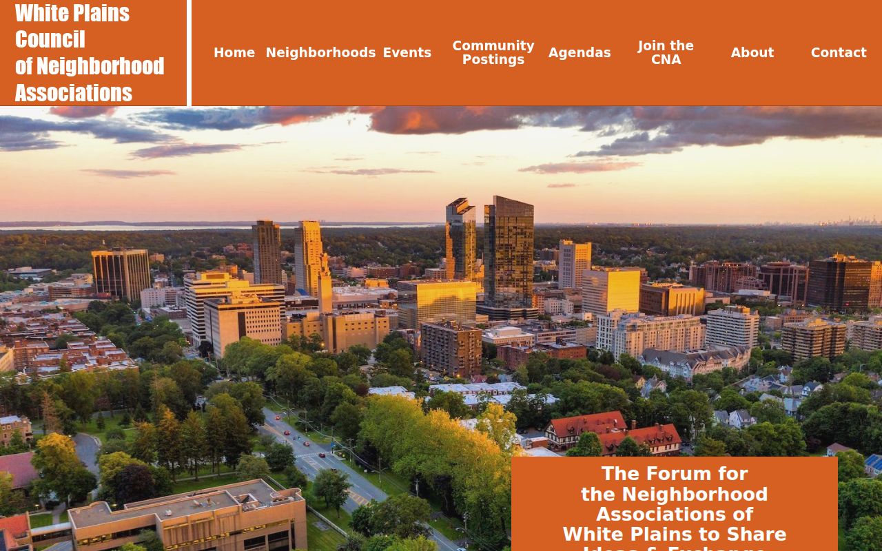
Use the organization’s published contact route for community communication, not to request or infer a private membership list.
The City of New Rochelle’s Our Neighbors page documents a voluntary association-contact and boundary effort rather than an active resident directory.
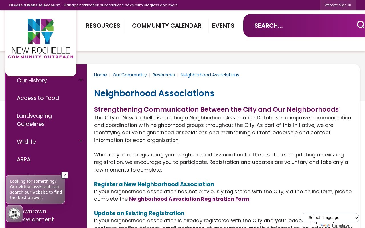
Because no completed public member or map search was confirmed, treat the project as civic communication infrastructure and recheck the live City information before relying on it.
Official Tools for Westchester County Neighbors
Official parcel work answers a limited, traceable property question. Commercial neighbor-search categories may combine public sources and unverified reports, which can be stale or attach the wrong person to an address. Neither category turns a parcel owner, mailing field, or historical listing into a verified household roster.
| Category | Best use | What it cannot establish |
|---|---|---|
| Official parcel and assessor records | Parcel identifiers, mapped location, available owner field, and tax correspondence field | Every current occupant, a survey boundary, or a household list |
| Recorded documents | Named parties, dates, legal descriptions, and document references | Continuous occupancy or every person connected to the address |
| Commercial search category | A prompt to return to an official source and test a specific fact | Accuracy, completeness, or a lawful basis to infer a private household |
Westchester County Neighborhood History
The Westchester County Historical Society and County Archives preserve a different kind of block context. Their holdings include organizational records such as the Pelham Manor Protective Club from 1881–1892, the Palisades Boat Club in Yonkers from 1866–1936, and the Village Park Association in White Plains from 1898–1927. Those files can explain how a community organized in its own era, but they are not authority to publish or reconstruct past membership details.
The Archives and WCHS share a public research setting in Elmsford, where historical material is used through catalogs, finding aids, staff retrieval, and reading-room rules. The County’s digital collection can help locate maps and atlases by place and era. That historical layer belongs to a property or community-history question, not an attempt to identify present households.
Westchester County Neighbor Privacy Limits
Private household members, utility and delivery customers, and people protected by address-confidentiality or confidential-voter laws remain outside this public parcel method. New York’s Address Confidentiality Program provides a substitute address for eligible participants, while confidential voter registration is separately maintained and not open to inspection or copying during its protection period. A blank or incomplete parcel field should never be used to claim that a person has no connection to a place.
Lawful personal use. Use parcel and civic information for a specific property, family-history, or community question. Do not stalk, harass, intimidate, impersonate, or harm anyone using a parcel or civic record.
For a wrong parcel entry, contact the municipal assessor. Send a recorded-document issue to the County Clerk and a voter-registration correction to the Board of Elections. FOIL does not override statutory confidentiality, court sealing, or protected address programs.